blah blah blah
Stewarts Peak
Length: 1.4 miles out-and-backDifficulty (click for info): Easy
Elevation Gain: 680 feet
Rating (click for info): 3/10
Elevation: 1850'
Prominence: 1160'
Driving Directions:
Trailhead and parking area are on Horne Street in Warner, NH. From the junction of Rt. 114 and Rt. 103, drive east on Rt. 103 for 1.6 miles, then take a right onto Melvin Mills Road, which parallels the main road. Go half a mile, then, following the vertical post street signs, turn right onto Melvin Road. Cross the bridge over the Warner River, and turn left to stay on Melvin Road. Drive 0.8 miles on the steep, winding road to a fork, then take the left onto Newmarket Road. Drive another 0.8 miles, then take a sharp right on a downhill section onto Horne Street. This road soon turns to dirt and becomes steep. Drive 1.5 miles up to the end of the road. Shortly after passing a snowmobile trail on the left, you will see a small parking spot on the left, next to a stand of mailboxes and across from a house. Click here for a Google map.
About the Hike:
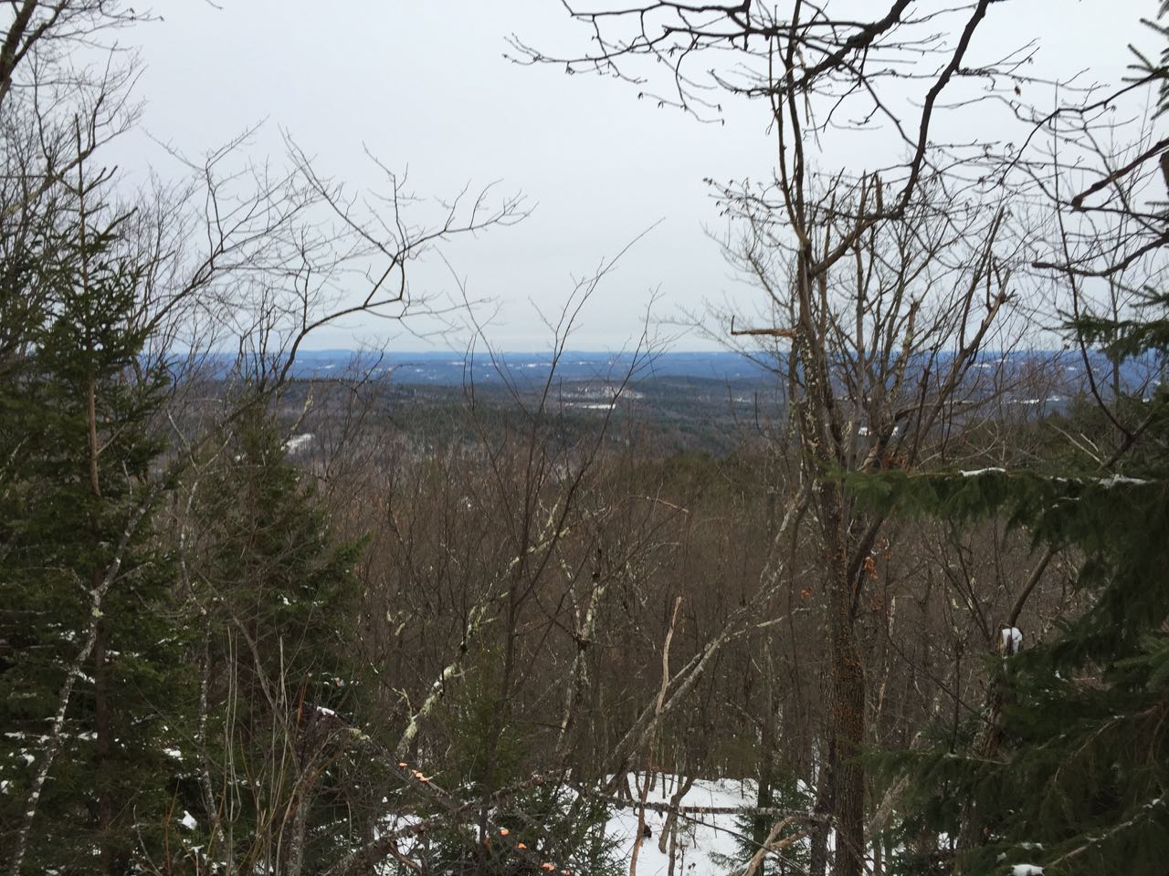
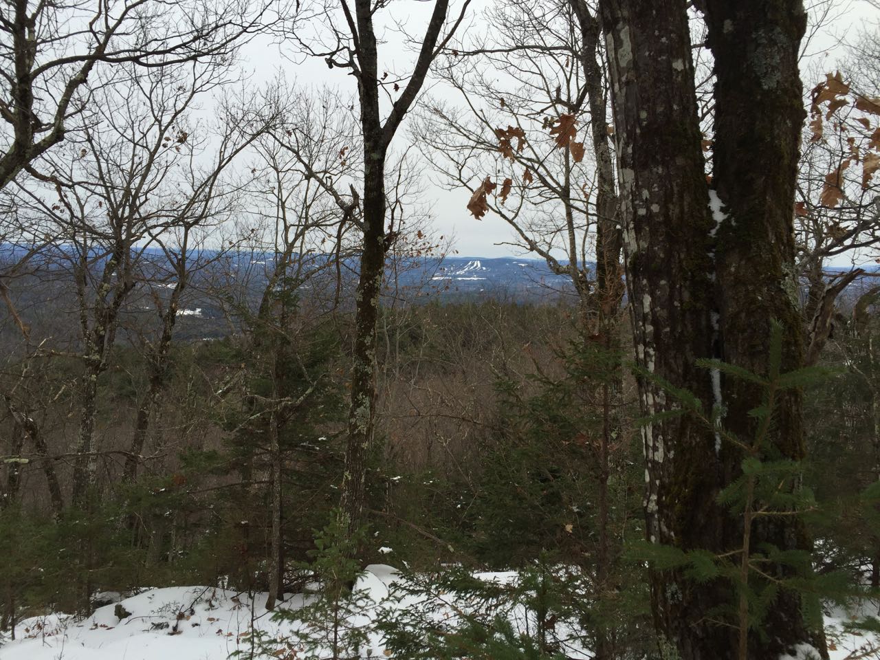
Stewarts Peak is a forested hill in the town of Warner to the east of Lake Massasecum. There is nothing particularly scenic about it; it offers only minimal views when the leaves are down from the trees. This small mountain is interesting for other reasons, though. First, it was the site of a former fire tower, the evidence of which has disappeared by today. Second, it is the highest point in the Mink Hills, a cluster of low hills mostly in southern Warner, and also one of the 71 New Hampshire peaks with over 1000 feet of prominece. A network of unofficial local trails connects the peaks in the Mink Hills and provides easy access to Stewarts Peak.
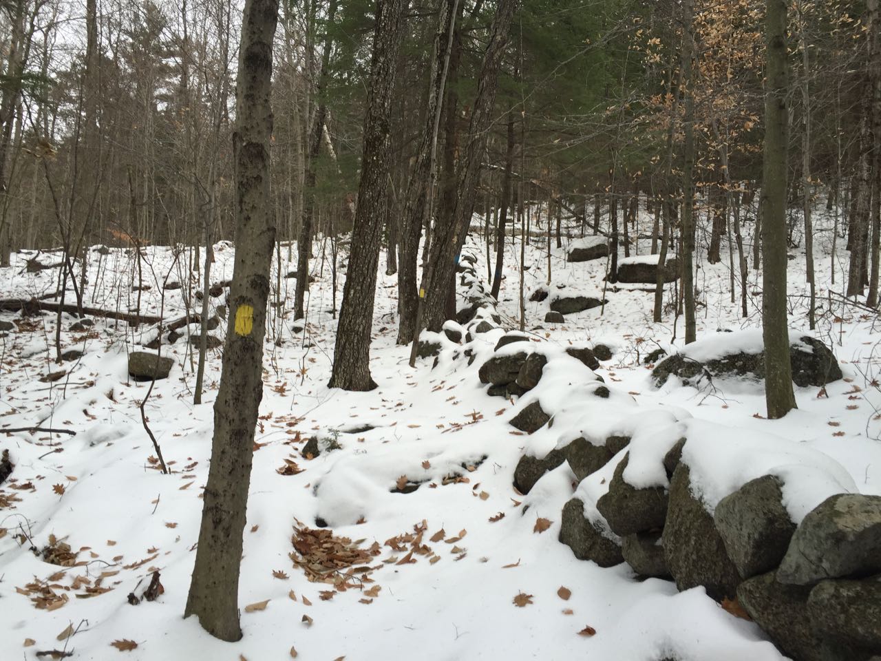
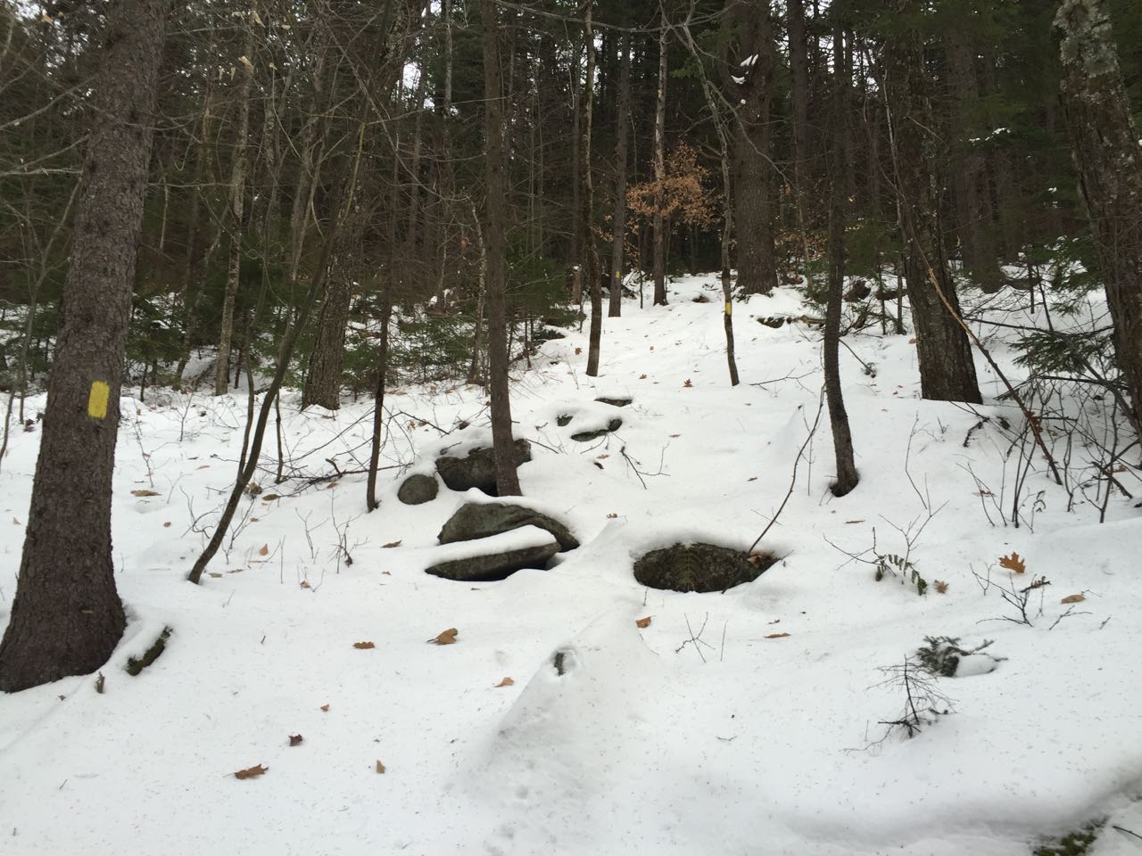
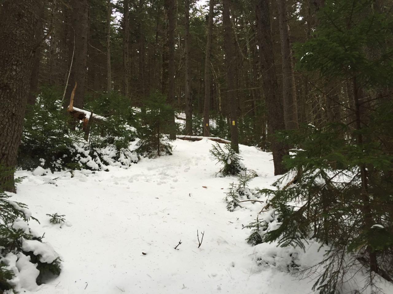
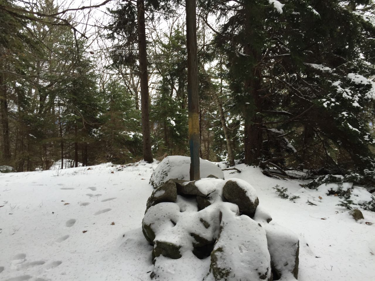
The yellow trail enters the woods on the same side as the parking area just a few feet up the road. The trail does not appear to receive much use and has some blowdowns, but is extremely well blazed. It runs flat into the forest for about 0.2 miles, dropping to cross a small brook. Then, it climbs a steep pitch and soon joins a blue-blazed boundary line, which becomes a stone wall. The trail climbs steeply and reaches a stone wall junction in another 0.15 miles, at which point it crosses one of the walls and turns directly toward the summit. It quickly becomes even steeper, climbing into a dark conifer forest. The trail eases in grade near the top, reaching the high point in 0.3 miles from the stone wall. Here, a red-blazed trail comes in from the left. The summit is marked with a large cairn with a tall wooden post. If there are no leaves on the trees, you can take a few steps down the red trail and look around in the forest to the right for some decent views through the trees. The most obvious nearby feature is the Pats Peak Ski Area on Craney Hill. Across the flat terrain, you can also see the Uncanoonuc Mountains and Fort Mountain.
Printable directions page